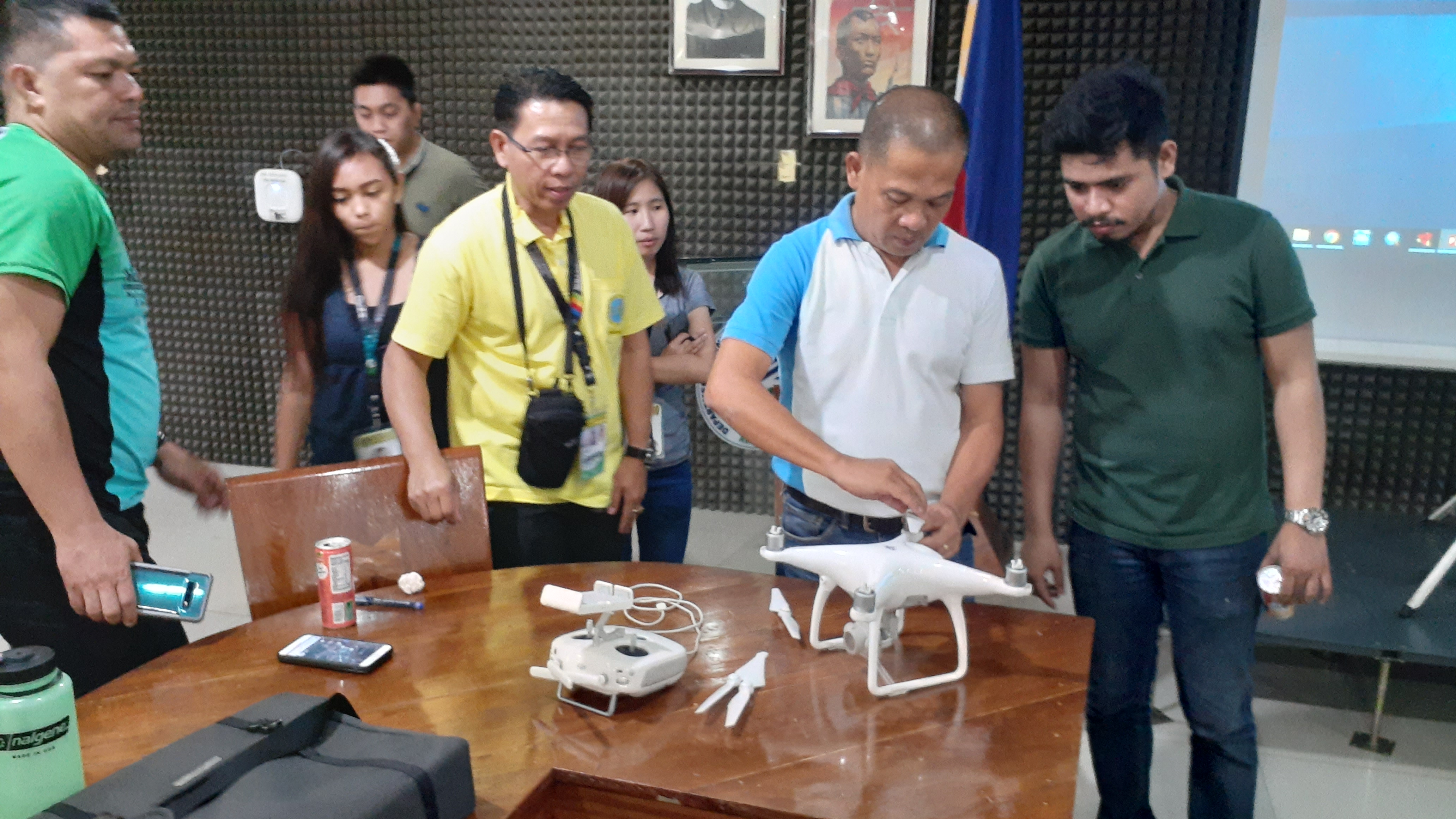
CAGAYAN DE ORO CITY- To equip personnel in the manipulation and operation on the potential use of Drone technology, the Department of Environment and Natural Resources, Region 10 (DENR 10) through the Technical Services conducted a two-day Re-echo Training on Drone Image Analysis, Mapping and Processing on June 25-26, 2019, this City.
DENR 10 Assistant Regional Director for Technical Services Paquito D. Melicor, Jr. during the opening ceremony said the purpose of the training is to upgrade the knowledge of drone operators in the department specifically Technical Services personnel on how to maximize the use of drone and make use of the data acquired, processed and make it into something geo-reference.
The learning event also provide participants to be well-informed in mission planning and execution of operating Drone, to export an output which bring best results towards a precise and accurate data to public service delivery and to develop, educate, and set the highest standards among aspiring Remotely Piloted Aircraft (RPA) controllers, ARD Melicor added.
Topics discussed in the two-day activity include the Potential Uses of Drone Technology, Unmanned Aerial Vehicle (UAV) Mission and Operation Planning Orientation, this include the Orientation on UAV’s (flight theory, uses, Civil Aviation Authority of the Philippines (CAAP) regulations), Mission Operation Planning (target identification, OP based site selection, area coordination and weather considerations).
The participants also undergone Dry Run Pre-Assessment, Supervision of Data Acquisition, Data Processing of Raw Data this include Data Processing using Agisoft, Data Analysis Using Google Earth/ArcGIS and Map lay-out using ArcGIS after practice drone control flight session.
The activity was participated in by selected personnel from the Surveys and Mapping Division, Enforcement Division and Licenses, Patents and Deeds Division, Conservation and Development Division, Regional Strategic Communication and Initiatives Services, Environmental Management Bureau and the Mines and Geosciences Bureau.
Resource persons were Forester Rico Jebulan of the Enforcement Division, Allan Bartolome from the PENRO-Misamis Oriental and Engr. Edjie Abalos from the Surveys and Mapping Division of DENR 10. #TayoAngKalikasan (RSCIS MR No. 07-173-2019)
- Details
- Parent Category: News & Events
- Category: Press Releases
- Published: 20 December 2019